


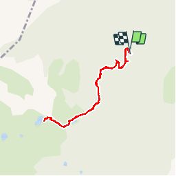

11.9 km | 22 km-effort

User


FREE GPS app for hiking
 SityTrail
IGN / Geographical institutes
SityTrail World
The world is yours!
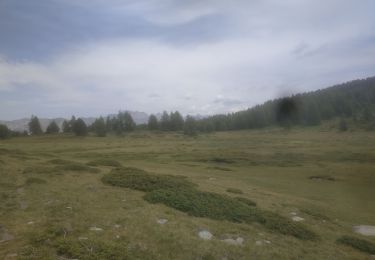
Trail Walking of 8.2 km to be discovered at Provence-Alpes-Côte d'Azur, Alpes-de-Haute-Provence, Le Lauzet-Ubaye. This trail is proposed by GebleuxGaetan.


Walking

Walking

Walking
Walking
Walking
Walking

Walking
Walking
Walking
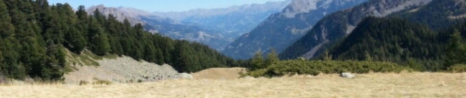
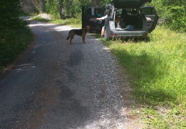
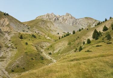
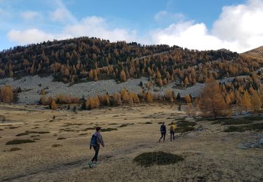
Belle randonnée, en grande partie ombragée. Le lac de la cabane est à sec. Le lac du milieu est magnifique. L'approche par la route forestière est délicate : à éviter si la carrosserie de votre voiture est basse !